Import Asc File
Import Asc File.
Overview
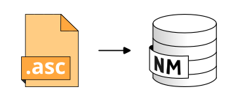
➡️ Import ESRI Ascii Raster file and convert into a Digital Elevation Model (DEM) compatible with NoiseModelling (X,Y,Z). Valid file extensions : asc and asc.gz . ✅ The output table is called: DEM and contain: - THE_GEOM: the 3D point cloud of the DEM (POINT)
Arguments
Mandatory inputs
pathFile— Path of the ESRI Ascii Raster file📂 Path of the ESRI Ascii Raster file you want to import, including its extension. Files can be gzip compressed. For example: c:/home/receivers.asc or c:/home/receivers.asc.gz
Type:
String
Optional inputs
downscale— Skip pixels on each axisDivide the number of rows and columns read by the following coefficient (FLOAT)
Type:
IntegerDefault:
1.0fence— Fence geometryCreate DEM table only in the provided polygon
Type:
GeometryinputSRID— Projection identifier🌍 Original projection identifier (also called SRID) of the .asc files. It should be an EPSG code, an integer with 4 or 5 digits (ex: 3857 is Pseudo-Mercator projection)
Type:
Integer
Output
result— Result output stringThis type of result does not allow the blocks to be linked together.
Type:
String