Import File
Overview
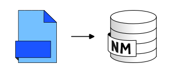
➡️ Import file into the database. Valid file extensions: csv, dbf, geojson, json, geojson.gz, gpx, osm.bz2, osm.gz, osm, shp, tsv
Arguments
Mandatory inputs
pathFile— Path of the input File📂 Path of the file you want to import, including its extension. For example: c:/home/buildings.geojson
Type:
String
Optional inputs
ifTableExists— Table exists operationWhat to do if a table with the same name already exists ?
Type:
StringDefault:
OverwriteAllowed values:
Skip import,Overwrite,Raise errorinputSRID— Projection identifier🌍 Original projection identifier (also called SRID) of your table. It should be an EPSG code, an integer with 4 or 5 digits (ex: 3857 is Pseudo-Mercator projection). This entry is optional because many formats already include the projection and you can also import files without geometry attributes. If the table is geometric and if this parameter is not filled and:- the file has a .prj file associated: the SRID is deduced from the .prj - the file has no .prj file associated: we apply the WGS84 (EPSG:4326) code
Type:
IntegertableName— Name of created tableName of the table you want to create from the file. 🛠
Type:
String
Output
outputTable— Name of the created tableName of the created table
Type:
String